Aerial project gallery
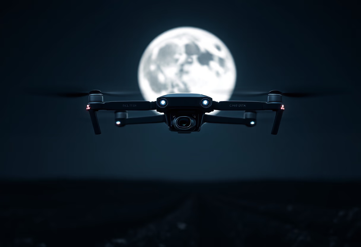
Explore our portfolio of drone mapping, photogrammetry, and 3D visualization projects. Each gallery highlights our precision, safety, and attention to detail across a range of real-world applications.


![[background image] image of company location map (for a construction company)](https://cdn.prod.website-files.com/image-generation-assets/e9f7540f-af8e-4855-83b1-af33ba624f5c.avif)




Get in touch
Let's start your aerial project
Contact us for mapping, video, or 3D services.
Email
info@cmfdrones.comPhone
+1 (501) 288-9694Location
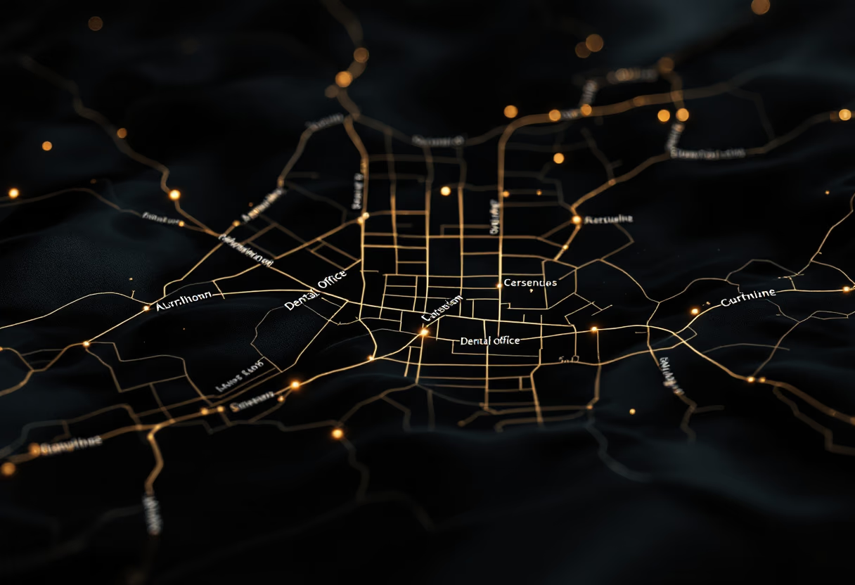
Central Arkansas, USA

